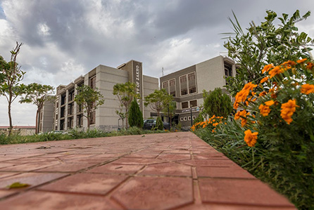
The Center of Applied Remote Sensing and GIS is one of the research centers of scientific specializations in the use and interpretation of visualization space and earth surface interpretation. This includes the task of developing educational and research capacity and the use of visualization and analysis of the space in order to take advantage of them in the areas of exploration and exploitation of natural resources and environment-related studies. The active research and development program of the center focuses on advancing the application of various geo-spatial technologies including remote sensing, Geographic Information Systems (GIS) and Global Positioning Systems (GPS). The center also develops spatial-statistical analysis/modelling techniques to the environmental, agricultural and natural resource sciences and management.
Applied remote sensing and GIS center
Our Website
