Services Details
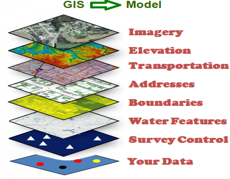
Geographic Information Systems (GIS)

- General consulting.
- Planning and Implementation.
- Data development (digitizing, parcel mapping, field collection, etc.).
- Data processing and manipulation (coordinate conversion, resolution resampling, format conversion, etc.).
- Attribute standardization.
- Geoprocessing analysis
- Network analysis
- Geocoding/address matching
- Land cover/land use data development
- Map design and production
- Poster design
- Map service design and support
Developed By ICT & Statistics Center-UoZ
