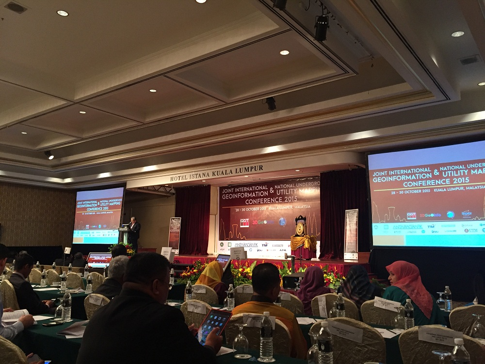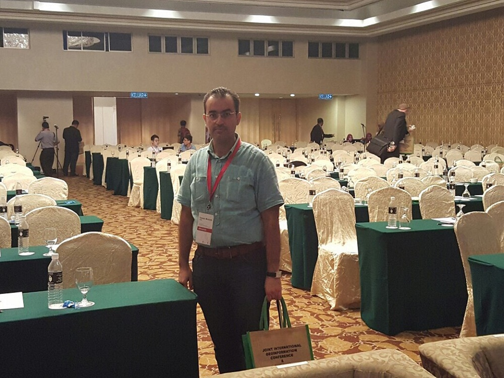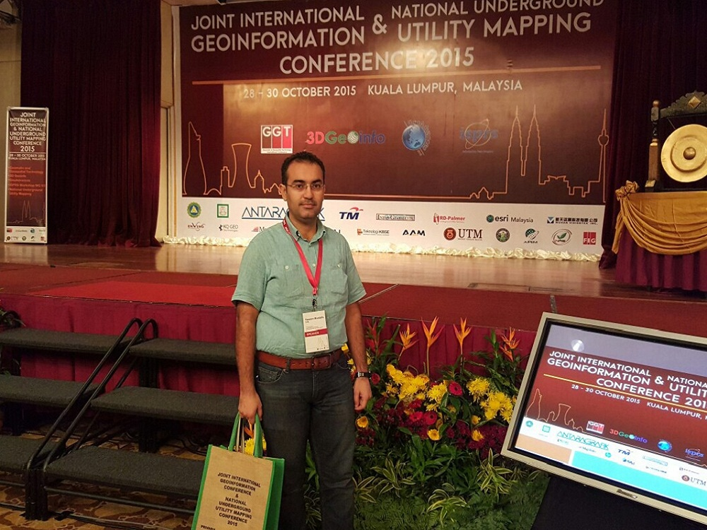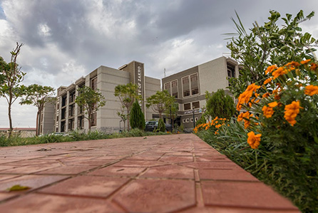
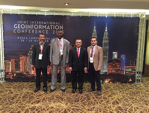
Assist. Prof. Dr. Yaseen Taha Mustafa, the Director of the Information Technology and Communication Center at the University of Zakho, has participated in the Joint International Geoinformation Conference 2015 which was held in Kuala Lumpur/ Malaysia, on 28th till 30th of October, 2015.
The conference included approximately more than 110 presentations from 50 different countries. The majority of the conference audience were notables and scholars from different countries. Due to the fact that four conferences, including 3G Geoinfo, Geo Advances, ISPRS WG II/2 Workshop, Geomatic and Geospatial Technology were met together in one conference, this event was therefore entitled Joint International Geoinformation Conference. During the conference couples of special sessions in different topics were held such as: 3D smart city, 3D Cadastral map, Geomatic Education, Geomatics techniques in evaluating and assessing climate change issues, public transportation planning with the support of Geomatics, Geo-industrial technology. The hottest discussed topics were: 3D city and Geomatics and its relevance to industry. Several techniques and suggested solutions were provided in order to improve the infrastructure and as a result, all these solutions needed to be implemented and achieved through the government. Unfortunately, in developing countries, scientists and researchers are almost unheard; however, researchers do not keep themselves silent and continuously attempt to convince the government for the implementation of their researches, thereby to distribute the benefits to all people either in a local scale or global scale.
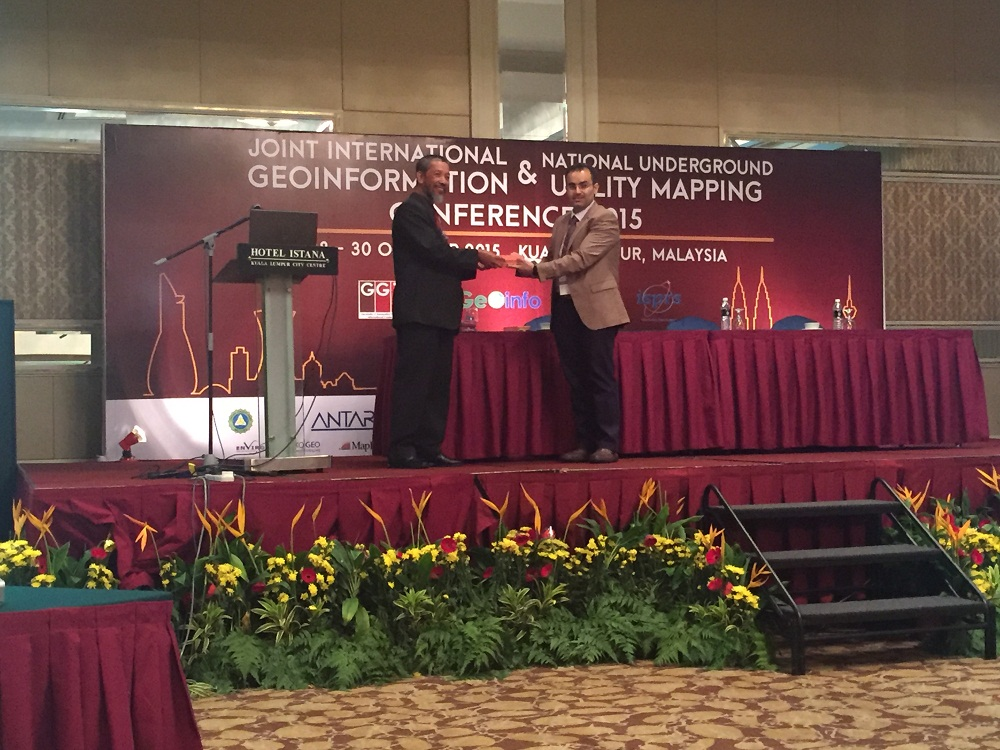
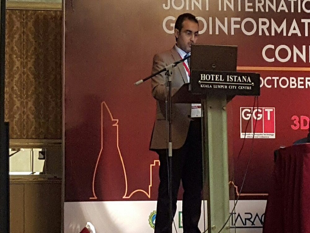
The research of Assist. Prof. Dr. Yaseen T. Mustafa entitled Identification and Mapping of Tree Species in Urban Areas Using Worldview-2 Imagery, was accepted and selected for presentation among hundreds of other researches from all over the world. The research was published in one of Scopus Journals, named ISPRS Annals. Owing to his past experience of working in the field of remote sensing applications, Assist. Prof. Dr. Yaseen T. Mustafa was able to showcase his talent to an international audience, scientists, research scholars, professors, etc.
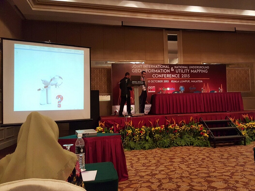
He presented the issue of how urban trees can be monitored, mapped and how their species can be identified by using remote sensing and GIS techniques. The advantage of this work and the results that Assist. Prof. Dr. Yaseen T. Mustafa obtained are to provide the Municipality of Duhok with the most accurate information and status of trees in the city of Duhok which will help the Municipality of Duhok in assessing and monitoring urban trees. Moreover, this research will faciliate the municipality in the prevention of any damage or suspicious condition of urban trees and to react appropriately if necessary.
Worth of mentioning is the fact that this work was the result of the joint research project which was conducted between the Faculty of Geo-Information Science and Earth Observation (ITC) at the University of Twente, The Netherlands and the University of Zakho. This project aims to develop an approach of mapping and identifying tree species in urban areas. It included the cooperation work between Assist. Prof. Dr. Yaseen Taha Mustafa from the University of Zakho, the Directorate of Forestry in Duhok and Prof. Alfred Stein from the University of Twente.